I had a really good night in Camp Verde, to my surprise, getting a solid six and a half hours of sleep and then dozing for about an hour more. I had a lazy morning and then set out around eight. It was quite cold and very, very, very, very windy.
My first stop of the day was in Flagstaff. I had initiated an INTERAC e-Transfer while I was in Camp Verde so I could make a withdrawal at a Bank of America in Flagstaff. My GPS told me that would be my only opportunity to access a BOA ATM before Moab and I needed cash for the hostel. BOA is part of the same network as Scotiabank, so no ATM fees there. By the time I arrived at the bank, the transfer was done, so I was able to complete my part on my phone and then get in line at the drive-thru machine. I felt bad for the folks behind me because my withdrawal took some time. Like the ATMs in Mexico, the machine would spit out my card and make me start over if I asked it to take out more than I had in my account (sometimes hard to gauge because of the exchange rate).
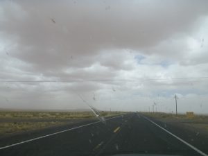
That finally done, I took off and was pleased to get off the Interstate even if it would be slower going. Olive green hills that reminded me of home slowly turned to rich brown red and that brought the dust. The picture didn’t turn out well, but the clouds were dirt brown. Pardon my gross windshield — no windshield cleaners in the US!
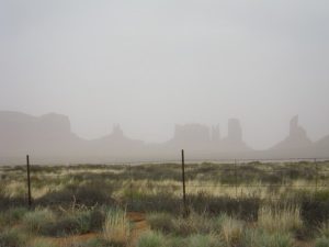
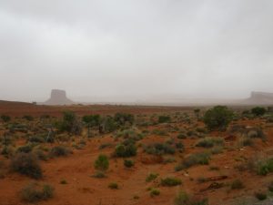
After several hours, I finally approached Monument Valley! I have wanted to see Monument Valley since November 17, 1986, at approximately 8:05 PM EST. But I was told by a few friends who have been that the tours are the worst kind of tourist trap and that I will be enormously disappointed. However, readers told me I would be able to see some of the monuments from the main highway. Visibility was poor, but I was ready to stop at pull-outs if I saw anything interesting…
Monument Valley straddles the Arizona/Utah border.
Wow…
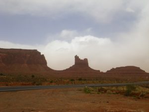
And, finally, a bit of a clearing!
Can you see the utter morons in front of me? They flew past me at the really nice scenic pullout right behind me and then pulled over right on the road to take pictures. Please don’t be like them.
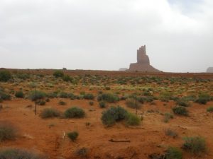
There was still more to see. I actually have dozens more pictures!
Happy with my taste of Monument Valley, I pushed on through the very scenic town of Mexican Hat.
And this is why it’s called Mexican Hat, I’m sure!
Neat cut straight through a hill:
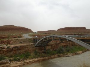
I climbed up to 7,000ft during my day and then started to descend to 4,000 feet, enjoying the vegetation changes as I did so, like this contrast of the red stone with the poplars. It got less windy as I started going down and a bit less chilly.
Snow…
More snow paused at a construction zone.
Another neat rock formation.
And my first arch! This is Wilson Arch.
I pulled into the hostel in Moab around six and paid for a second night since I was immediately not sure I would want to spend five nights there. It’s nothing to do with the hostel — it’s a hostel. I knew what I was getting into and this appears to be one of the good ones. I’m just past the age of living a million miles from a shared bathroom and the wifi only works in the communal spaces. But my cabin is private and the bed is good. So we’ll see how my first day at the park goes.
I went out into town to get dinner. Moab appears to be along a main stretch with a few other roads jutting off of it. There are lots of restaurants. It was fun to look up addresses in my GPS because Utah has a unique addressing system based out of Salt Lake City (eg. 60N 100W Moab, UT). I had a case recently where I learned about this and so it wasn’t a complete shock last night.
For dinner, I found myself at a really good Thai restaurant eating super spicy Pad Thai (I actually requested 3 out of 5 stars!) with a cold Chinese beer. But at 24USD, I won’t be splurging like that every night!
I had an early night since I had no internet access in my cabin and didn’t want to go to the communal space to get online as I was exhausted. I also couldn’t use my phone as a hot spot because I was out of pesos and CIBC declined my purchase of more money so I could buy a data plan. I’ll try again tonight.
I had a good night’s sleep, but the morning is being trying since I can’t relax in my private space with coffee to do my emails and online stuff. Hopefully, I’ll be less cranky after a day in the park…
It’s almost seven and the communal spaces are getting busy, so I’m heading out.











“Utah has a unique addressing system based out of Salt Lake City…”
That is not quite correct, The unique addressing system is common to towns that were founded as Latter Day Saints settlements (there are even such towns in Canada). They were all built using a grid plan inspired by one originally drawn up by founder Joseph Smith in 1833 called the ‘Plat of Zion’.
What I meant is that the numbering itself is centred in SLC and then grows in each direction, not that the system originated there.
That is true in only a few cases. Most Mormon towns have their own address origins (which is usually the block where the temple is). Please take a look at the web site linked below to see a list of such towns and where each town ‘center’ is located. From that ‘center’ the numbering then follows the “Plat of Zion” in each town. Moab happens to be one of those towns with its own address origin or ‘center’.
http://gis.utah.gov/data/address-overview/address-grids/notes-utah-local-addressing-systems-address-grids/
Pingback: Recap of the Best Year of My Life |